In the middle of Mpumalanga, in the beautiful South African countryside, an amazing partnership is taking shape. Along with the endless energy of Rotary, the academic rigor of the University of Missouri (Mizzou), the selfless spirit of the US Peace Corps, and the timeless wisdom of the Southern Ndebele people, this project brings everything together in a way that works well. Using the cutting edge of Geographic Information Systems (GIS), this group effort aims to find, celebrate, and protect the rich tapestry of Southern Ndebele history. As we start this amazing trip, we hope to record the old stories and narratives that the Southern Ndebele elders have told us. We will use the tools of the digital age to make sure that these important traditions live on through future generations. This is a story about bringing people from different cultures together and showing them how to understand and protect culture in a world that is becoming more and more linked. Welcome to our journey together, which shows how powerful unity, technology, and stories can be.
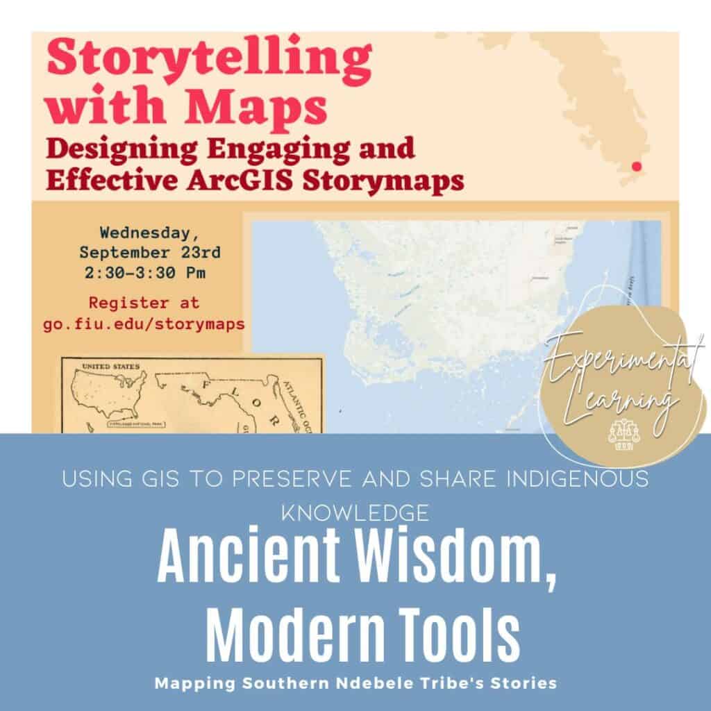
What is GIS, but more specifically what is StoryMaps?
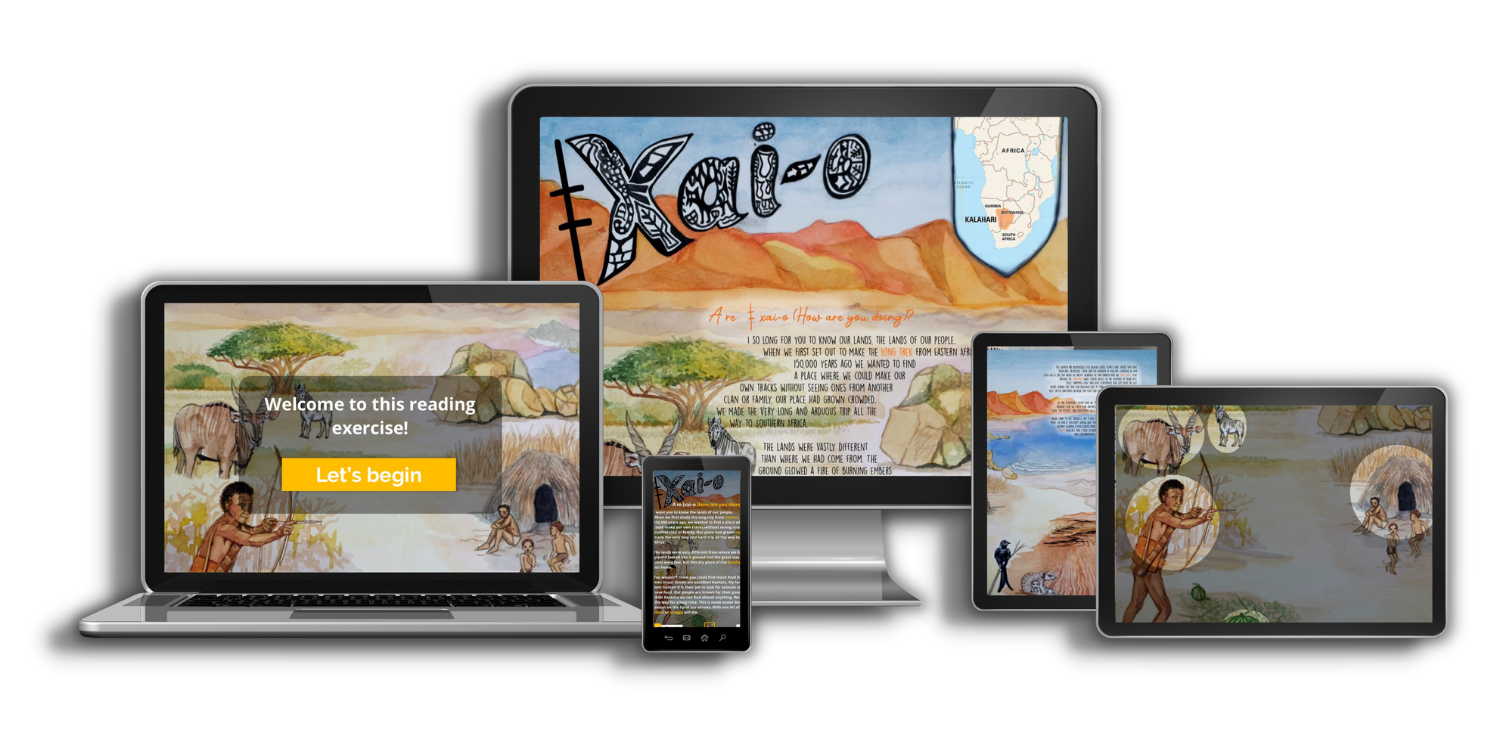
For GEOG 7840, I decided to combine my interests in Geographic Information Systems (GIS) and digital storytelling into a single project. I’m delving into an area that really interests me through the use of StoryMaps’ incredible power. What’s more, I’m collaborating with the Southern Ndebele of Mpumalanga, Rotary, and the US Peace Corps, which is really great. We’re all working together to bridge generations and communities. I’m using GIS data and analysis to create a digital map display that not only keeps alive the stories passed down from generation to generation of Southern Ndebele elders but also makes them exciting and approachable to a new generation. It’s like updating these fantastic cultural tales with a contemporary perspective. We’re leveraging technology to preserve this unique heritage, improve mutual understanding, and unite groups of people. By demonstrating what can be accomplished when geography and GIS are applied to issues of education, community collaboration, historical preservation, and cutting-edge technology, this initiative aims to inspire others to pursue similar endeavors.
Rotary protocols.
So, we began by conducting a needs assessment in the local Rotary area as a first step toward making this idea a reality. We had to demonstrate the magnitude of the results to be expected from this effort. We first reached out to members of the Southern Ndebele community in Mpumalanga to get a sense of their priorities and the ways in which they could benefit from this endeavor. We talked to them on the phone, met with them in person, and heard about their hopes and dreams. This was a critical step in securing Rotary’s backing and confirming that our initiative is in line with local priorities. It’s been quite a ride so far, and it’s only just begun. With the knowledge we’ve gained, we’re getting ready to tell these family tales in a way that does justice to the Southern Ndebele people’s history and culture.


